We conduct research for Antalya province in the fields of environment, tourism, urban planning, disaster management, health management and similar areas using open-source satellite data, GIS analyses and Remote Sensing technologies.
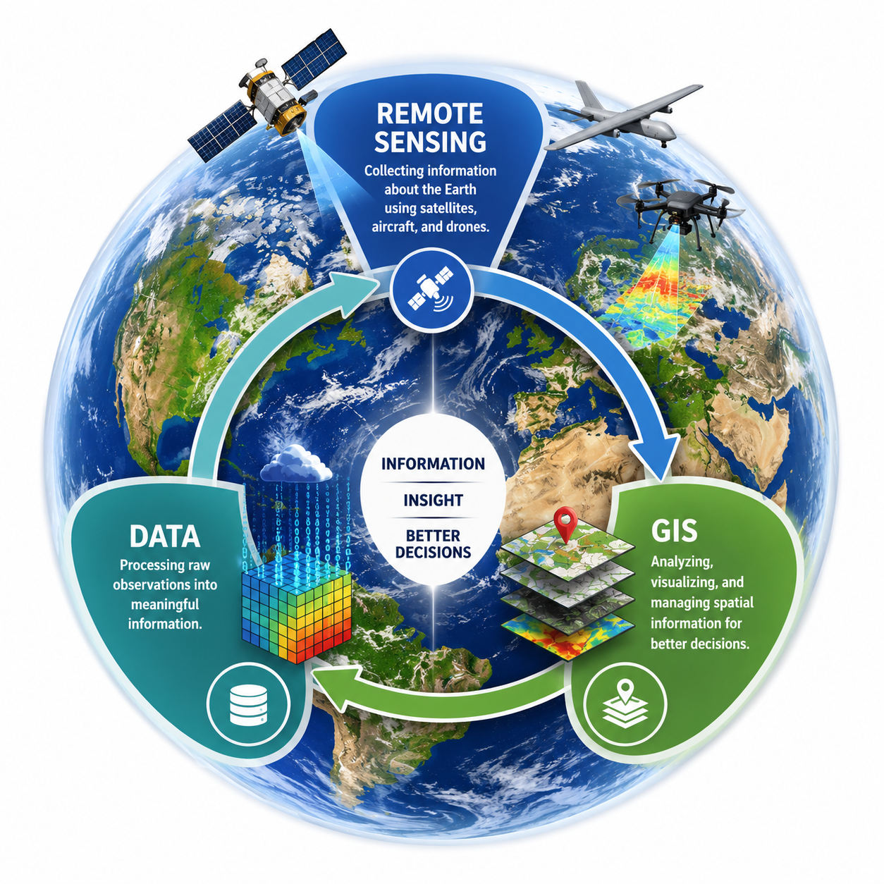
Computer-based systems used for the collection, storage, analysis and visualisation of spatial data. They are widely used as decision-support tools in fields such as urban planning, environmental management, agriculture, tourism, health and disaster management.
The science of observing and analysing the Earth's surface from aircraft or satellite platforms without physical contact. Satellite sensors collect data in visible light, infrared, thermal and radar wavelengths, enabling the analysis of large areas in a short time.
We benefit from freely available, open-access satellite imagery in our research
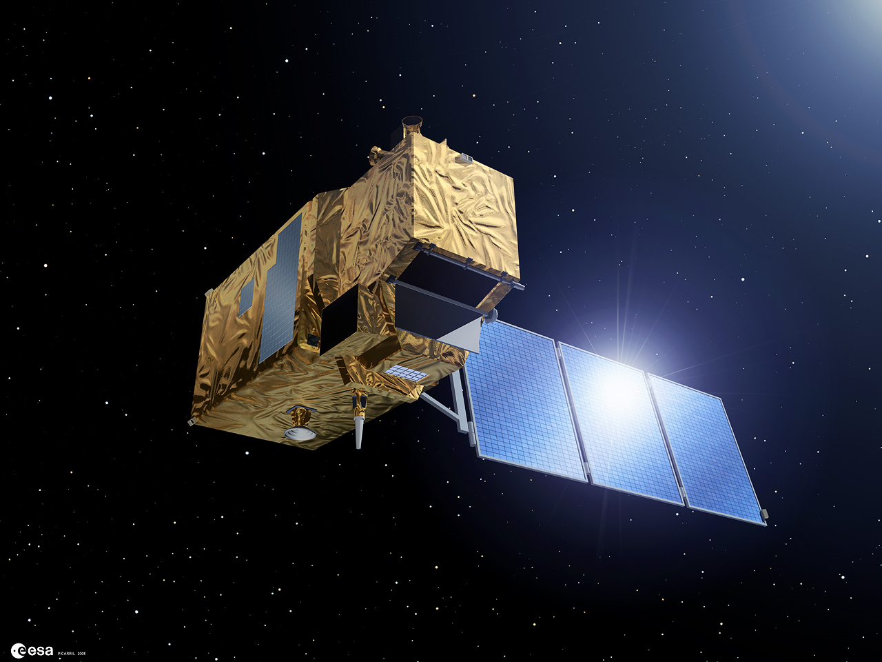
The Sentinel satellite family is an open-access observation system developed under ESA's Copernicus programme, consisting of satellites designed for different mission objectives including optical imaging, radar and atmosphere monitoring. The Sentinel-2 satellite provides imagery across 13 spectral bands at 10 m resolution and, thanks to its twin-satellite system, revisits the same area every 5 days, delivering continuous data for vegetation, water bodies and coastline change monitoring.
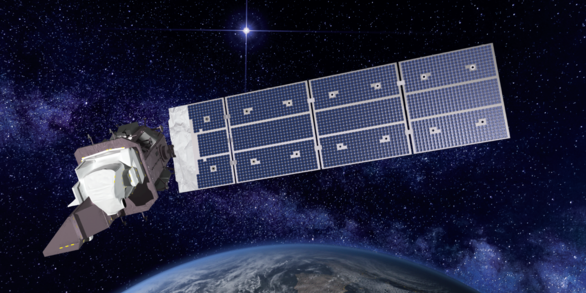
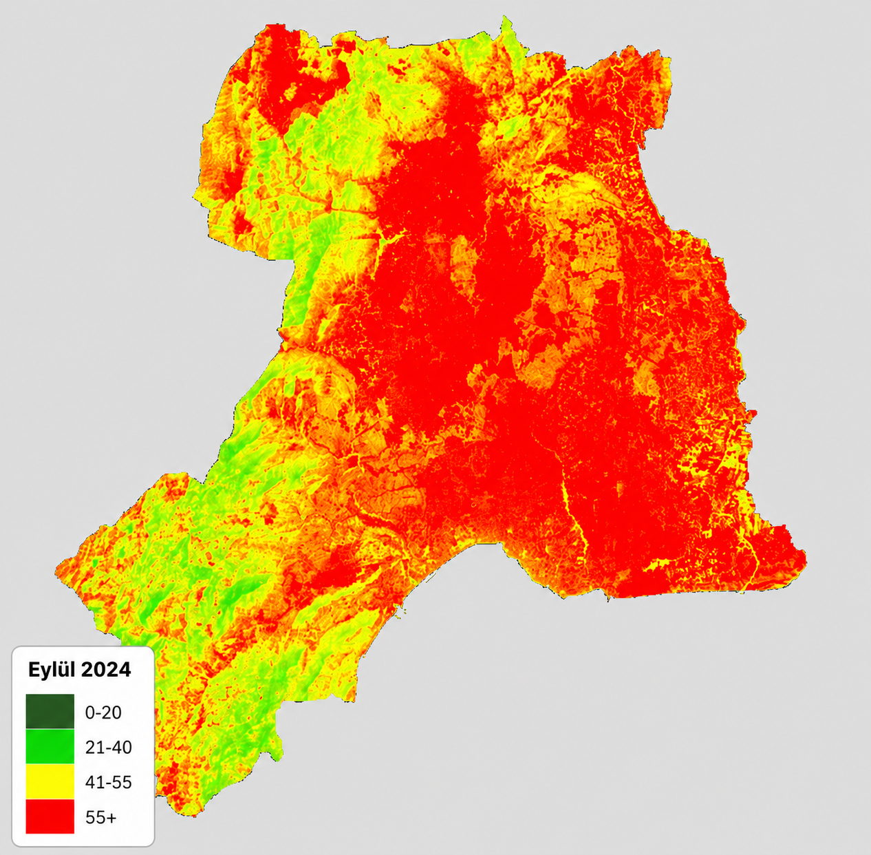
The Landsat satellite family is the world's most long-standing satellite observation programme, operated continuously by NASA and USGS since 1972. Landsat 8 and 9 produce imagery across 11 spectral bands at 30 m resolution with a 16-day revisit cycle. Their thermal infrared bands make them particularly preferred for land surface temperature measurement and urban heat island detection. An archive spanning more than half a century enables the analysis of decades-long change processes.
Applications produced with GIS and remote sensing technologies
Recent work and announcements from our laboratory
Following heavy rainfall in the northern districts of Antalya in February 2026, flooding and traffic disruption on the Antalya–Konya highway were documented by our laboratory through comparative analysis of ESA Sentinel-2 satellite imagery.
Read More ↗