Research and applied studies carried out within our laboratory.
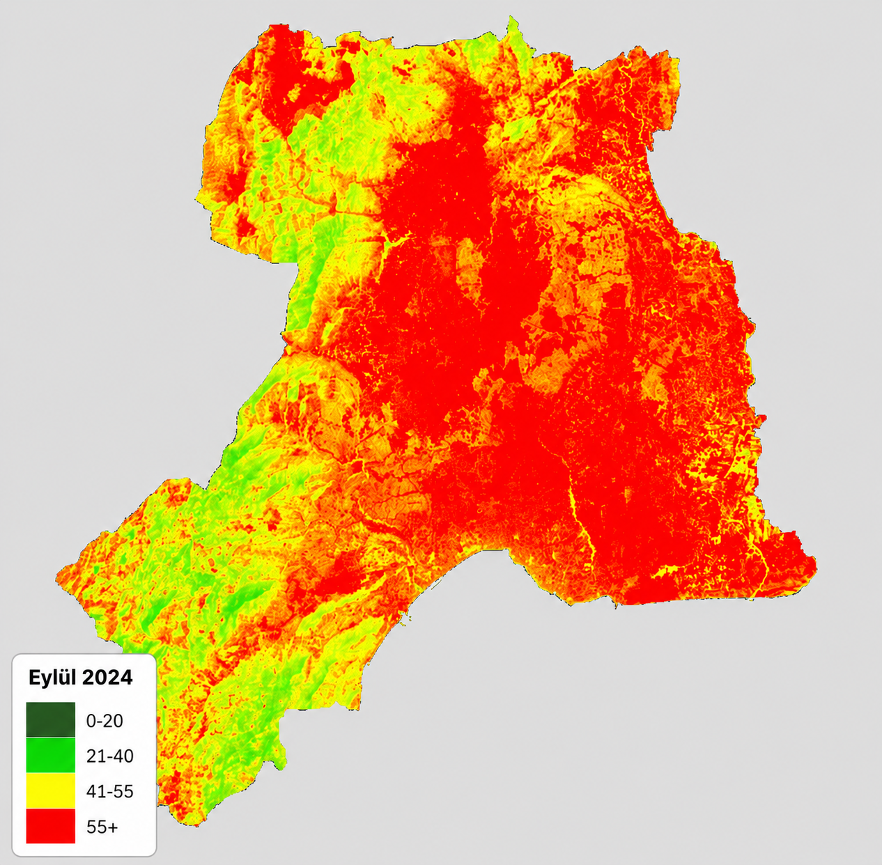
Design and establishment of a multi-layered GIS-based urban information system integrating the geographic data of Antalya province.
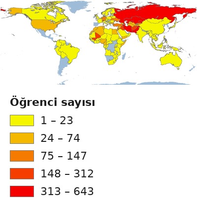
Linking the 2025 data of international students at Antalya Bilim University (nationality, faculty, department, programme and year of study) to a world map in a Geographic Information Systems environment; revealing student density at global and continental scales through thematic maps; and building a spatial database in which student information can be queried by country and department.
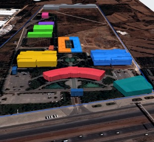
A web-based Campus Information System developed with open-source GIS and web technologies, presenting the buildings, floors and units of Antalya Bilim University's Main Campus on a three-dimensional, interactive map.
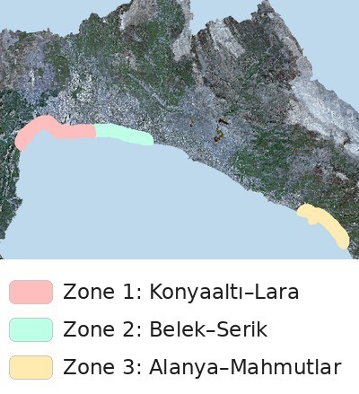
Analysis of land cover change and landscape fragmentation between 2016 and 2025 using Sentinel-2 satellite imagery and machine learning models in three areas of the Antalya coast representing different tourism development models, and generation of future projections for 2030–2035.
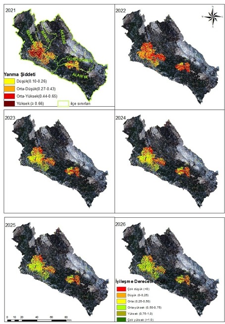
Determining burn severity in the area affected by the 2021 Manavgat wildfire and monitoring post-fire vegetation recovery over multiple years using Sentinel-2 satellite imagery processed in Google Earth Engine with machine learning-based cloud masking; and assessing the relationship between the recovery process and climatic conditions.
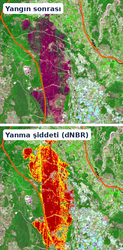
Rapid and repeatable determination of the area affected and the burn severity of the forest fire that occurred in the Aksu and Kepez districts of Antalya in September 2026, using pre- and post-fire Sentinel-2 satellite imagery and the dNBR method in Google Earth Engine.
Revealing the current water quality of the Golden Horn spatially and temporally by calculating chlorophyll-a, turbidity, total suspended solids (TSS), coloured dissolved organic matter (CDOM) and dissolved organic carbon (DOC) from Sentinel-2 satellite imagery in Google Earth Engine.
Mapping forest fires in Antalya using open-access satellite data together with deep learning and machine learning methods, monitoring post-fire recovery of vegetation and land surface temperature, and relating this process to climate variables.